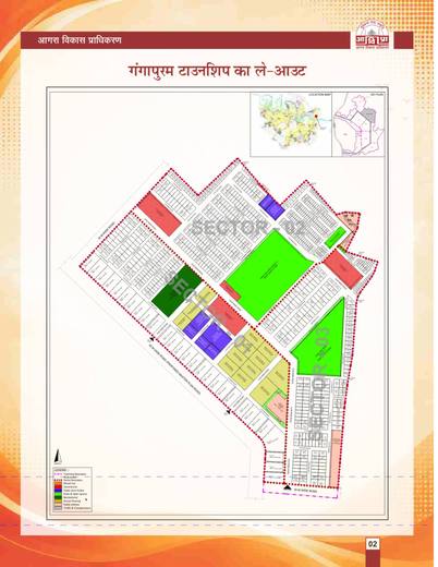
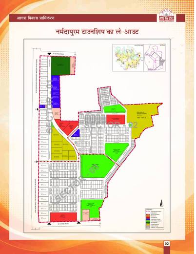
Atalpuram Phase 1 layout plan: Sectors 1, 2 and 3, 44.837 ha
ResidentialSheet p. 1PNG 998 KB
The ADA Agra layout plan of Atalpuram, Agra: 2 layout plans. All 2 sheets are ADA Agra's own drawings, with the brochure page on each. Zoom in on the drawing, or pick a sheet above it.
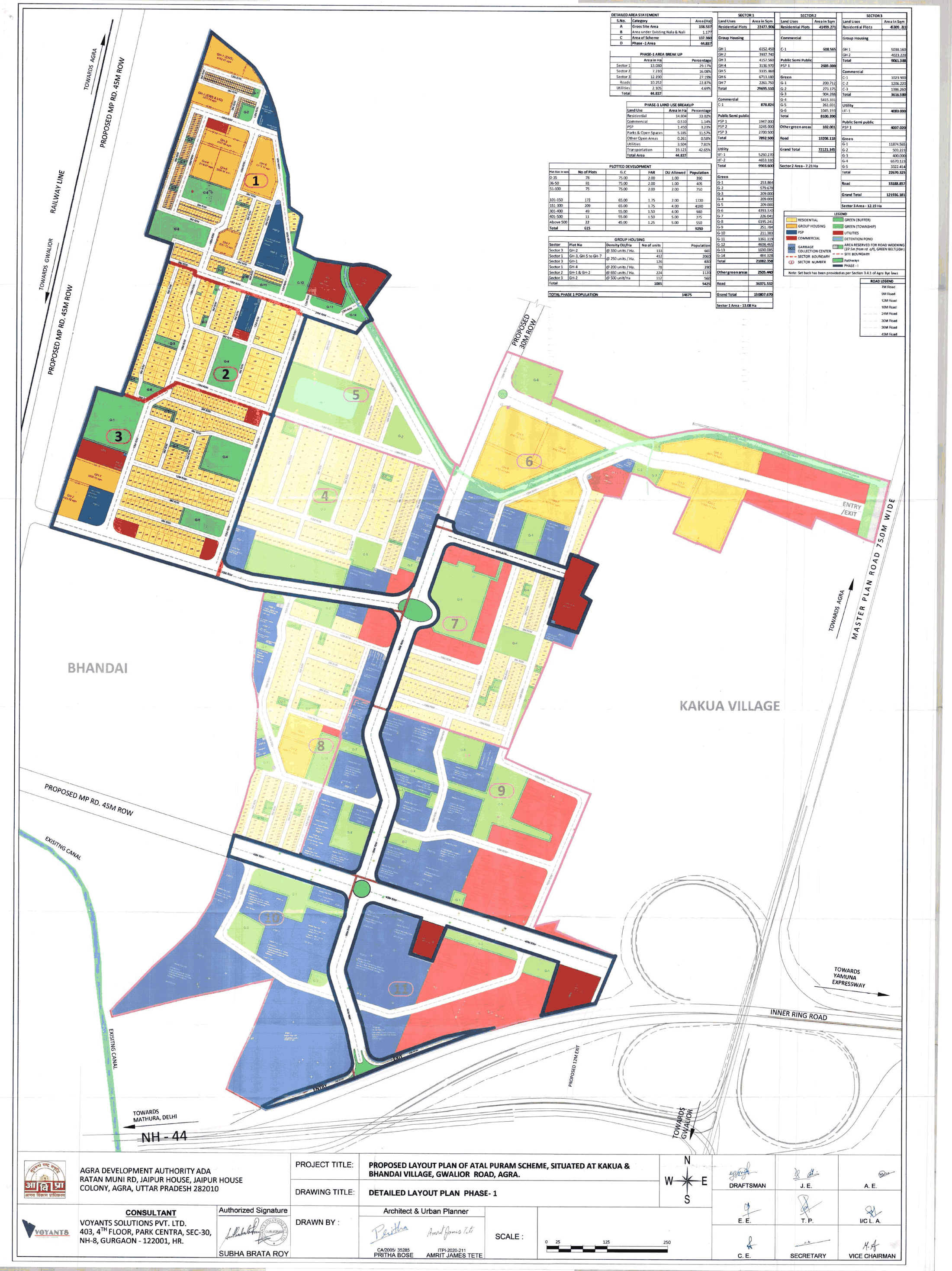
ADA's detailed layout for Phase 1 as filed with UP-RERA (UPRERAPRJ447163/07/2025): plots by size, group housing, parks, schools and roads.
Detailed Layout Plan Phase-1. Project title: Proposed layout plan of Atal Puram Scheme, situated at Kakua and Bhandai village, Gwalior Road, Agra.
None. The drawing carries no RERA number, approval date or validity stamp. The number comes from the UP-RERA listing (see rera_no).
Gross site area 138.537 ha; existing nala and nali 1.177 ha; area of scheme 137.360 ha; Phase 1 44.837 ha
Sector 1 13.080 ha (29.17%), Sector 2 7.210 ha (16.08%), Sector 3 12.190 ha (27.19%), roads 10.252 ha (22.87%), utilities 2.105 ha (4.69%); total 44.837 ha
Researched background, not from a scheme document: Agra Development Authority (Phase 1 layout filed with UP-RERA).
The schemes this site has on record here, latest first.
 Representative photo
Each sheet here is the drawing ADA Agra published, as published. Treat it as the plan the authority is selling against, not as a sanctioned plan until the authority says so.
The sheet here draws the whole colony; ADA Agra has not published pocket maps with plot numbers for it.
On the scheme page of the flats they describe, beside each flat type's price and area. This page holds the maps of the colony.
Every sheet opens at full size from the "Open the file" button. The site does not alter the drawings.